Drawing the Interrupted Sanson–Flamsteed Sinusoidal Projection by hand
Most world maps try to hold the Earth together on one continuous sheet. This one begins by breaking it apart.
The Interrupted Sanson–Flamsteed projection divides the world into separate lobes. The gaps are placed mainly across the oceans, allowing the continents to retain more recognisable forms while preserving their relative areas.
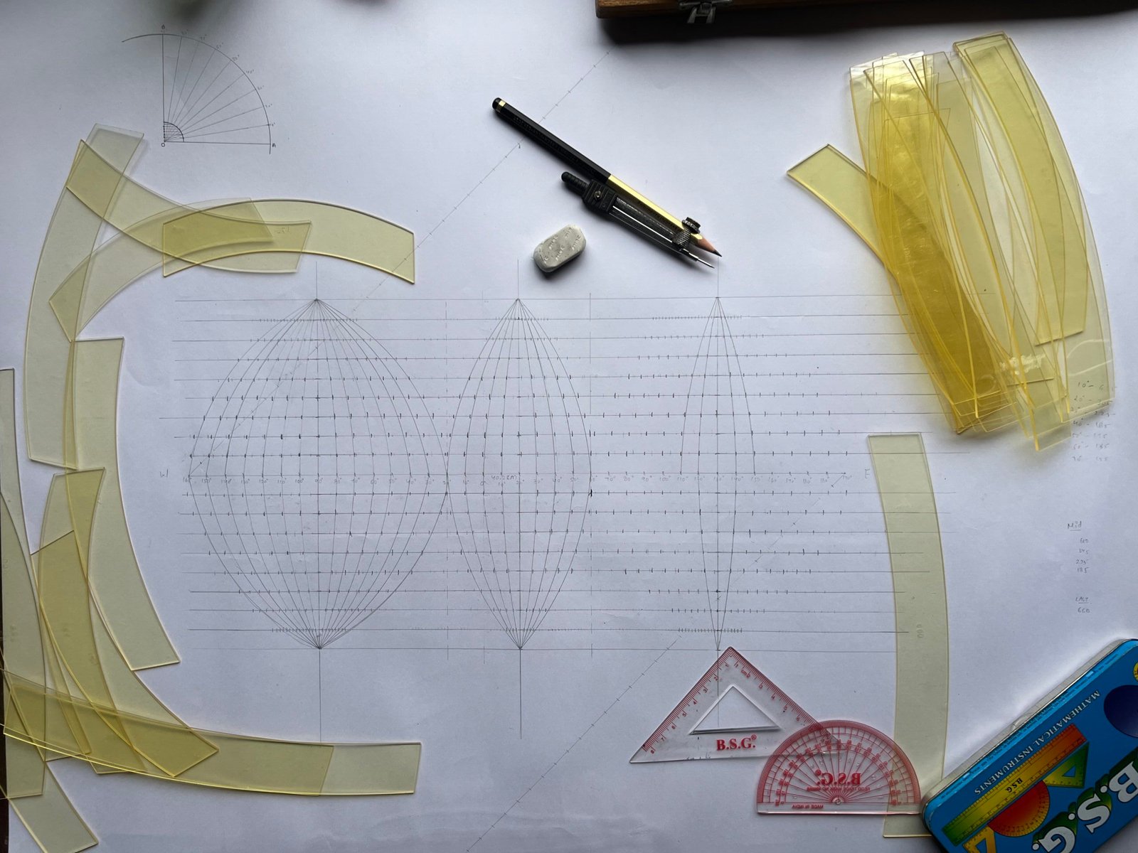
Beginning with the Framework
Before continents can appear, the map begins as geometry. Three central meridians establish the main lobes, while measured points along the equator and parallels create the framework upon which the projection will be built.
Compass, scale, protractor and curved templates turn mathematical coordinates into a hand-drawn surface.
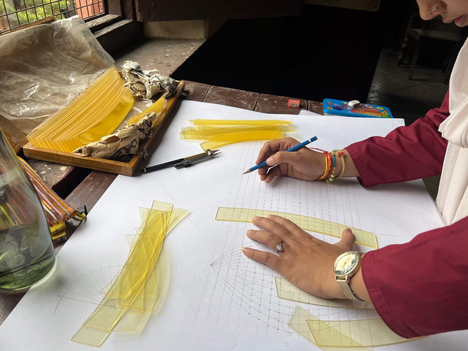
Giving the Meridians Their Curve
In a sinusoidal projection, most meridians are not straight. They bend inward as they approach the poles, reflecting the decreasing length of the Earth’s parallels away from the equator.
Each curve must pass through a sequence of carefully plotted points. A slight error can disturb the balance of the entire lobe.
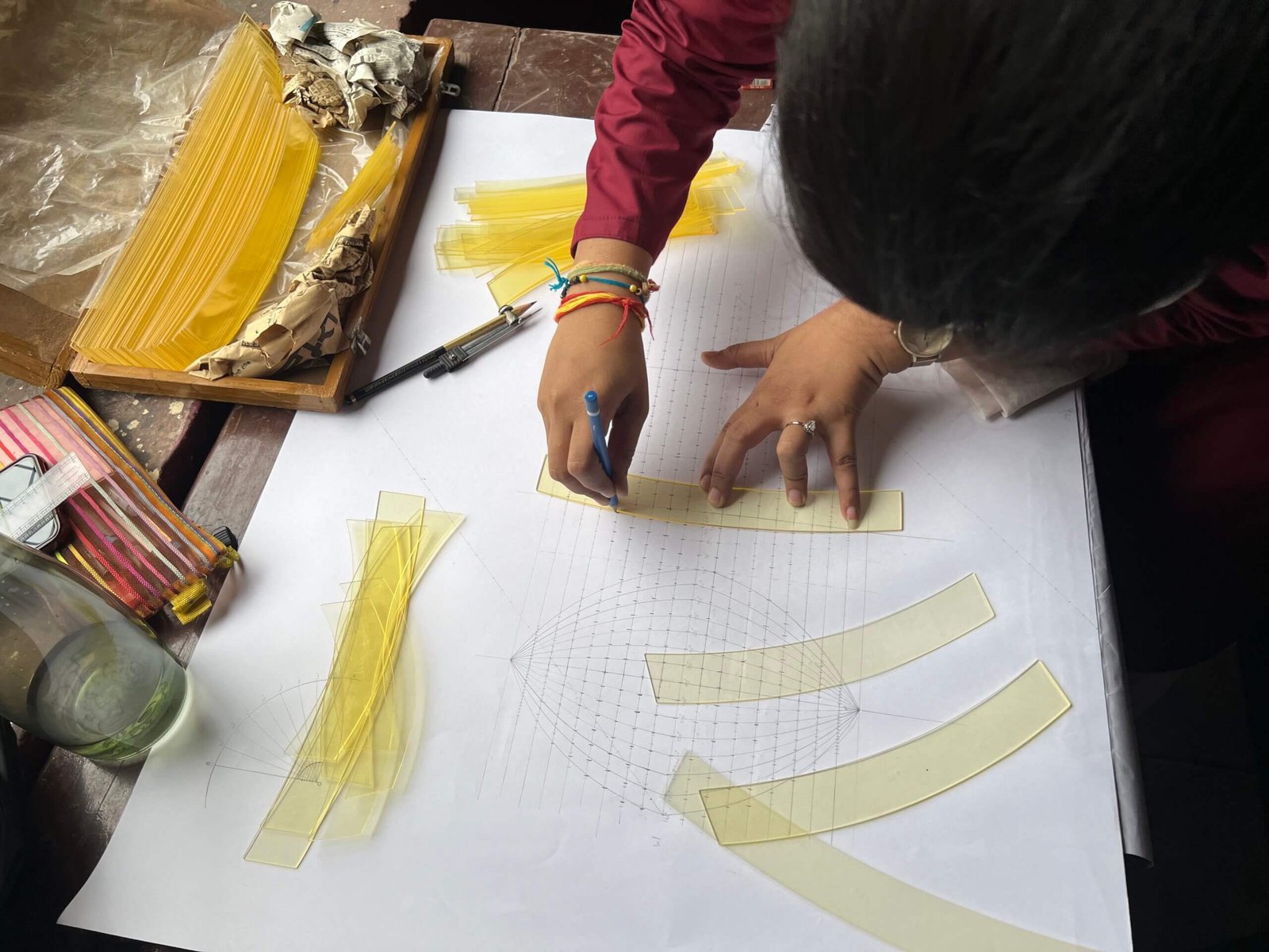
From Points to Continuous Lines
The plotted coordinates initially appear as isolated marks. Curved templates connect them into smooth meridians, transforming a field of measurements into a recognisable geographical grid.
This is the slowest part of the process: measuring, aligning, drawing—and checking the curve again.
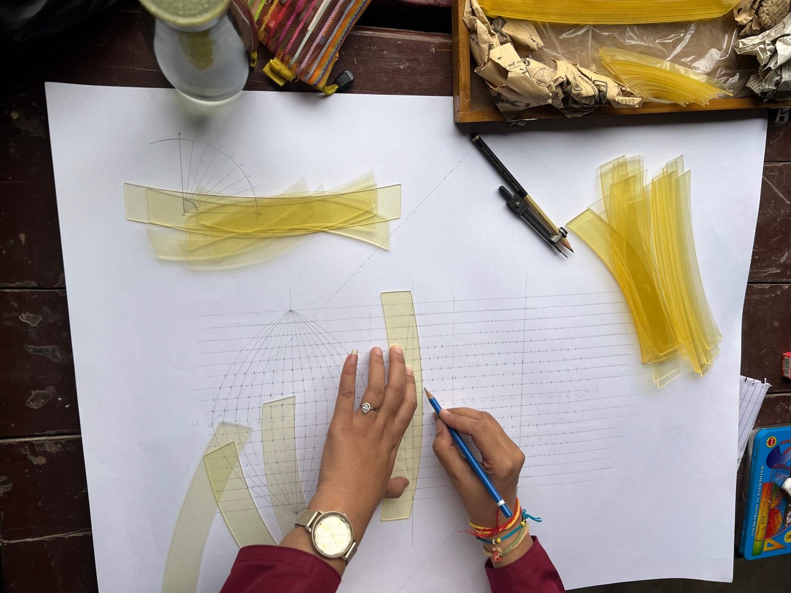
Building the Graticule
The curved meridians are crossed by straight, evenly spaced parallels. Together they form the graticule—the geographical skeleton of the map.
Every intersection represents a known relationship between latitude and longitude. The empty map is already describing the Earth before a single coastline is added.
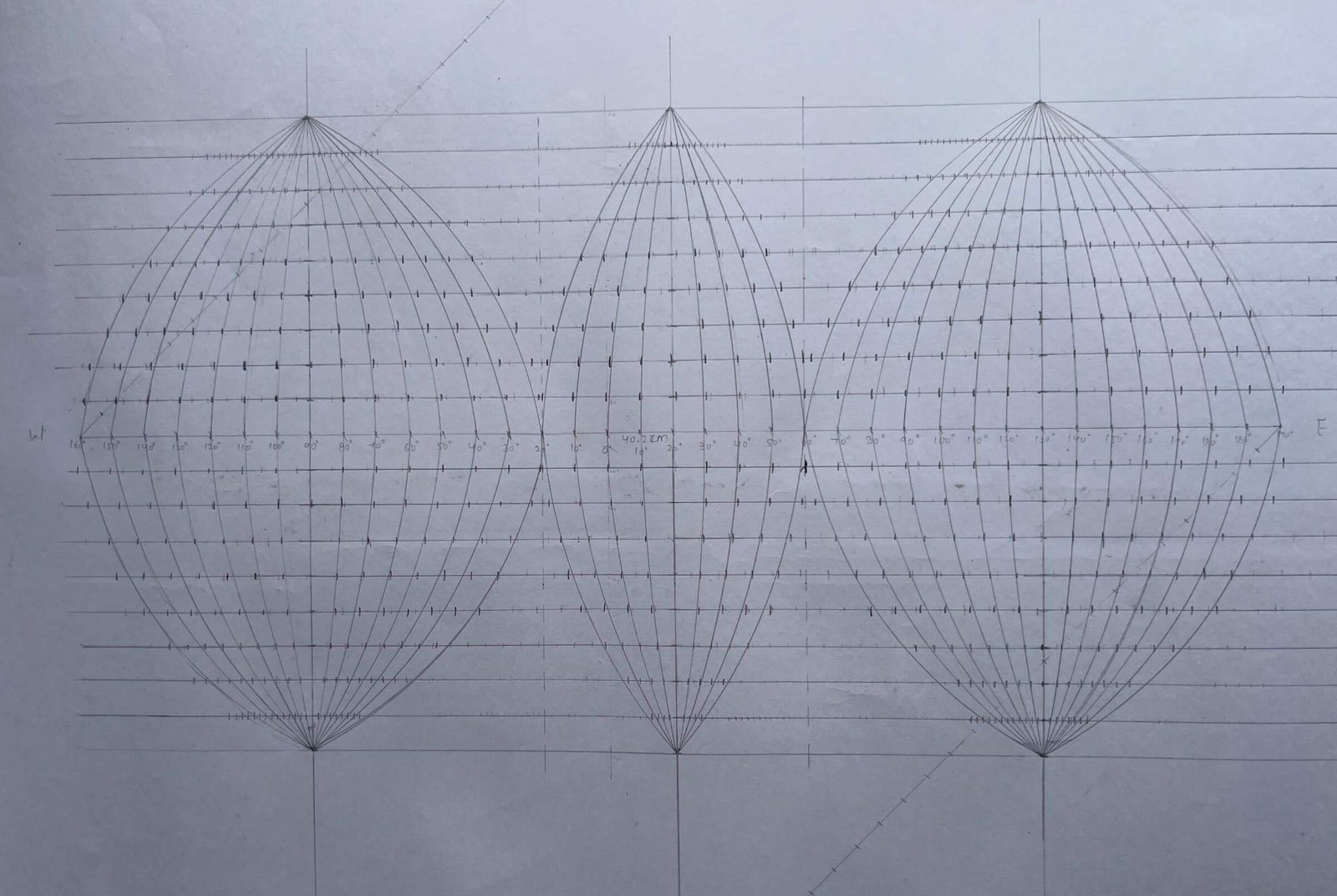
The World in Three Lobes
The basic structure is now visible. Instead of forcing the entire planet into one continuous outline, the projection creates three separate cartographic spaces.
The breaks are not mistakes. They are deliberate interruptions, placed mainly through the oceans so that major landmasses can remain closer to their own central meridians.
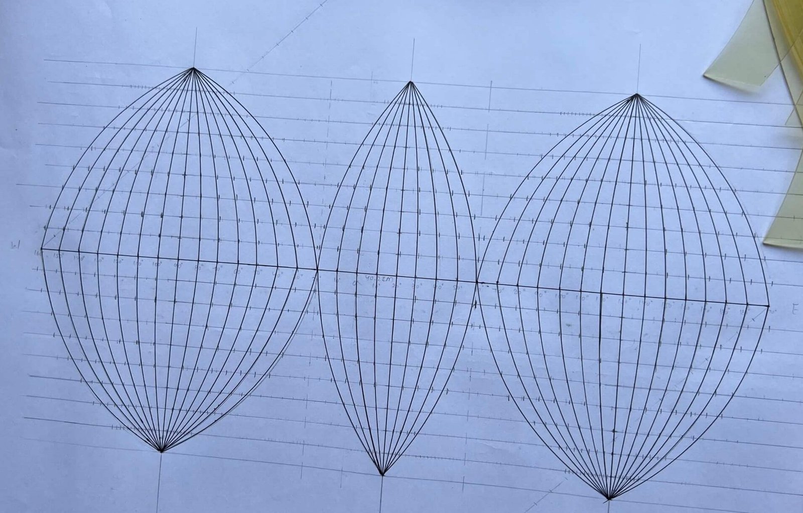
Strengthening the Structure
Once the geometry has been checked, the main meridians and outer boundaries are strengthened. The construction lines remain visible, but the final form of the projection begins to emerge above them.
The central meridian of each lobe remains straight. Distortion grows farther away from it, which is why each section is independently centred.
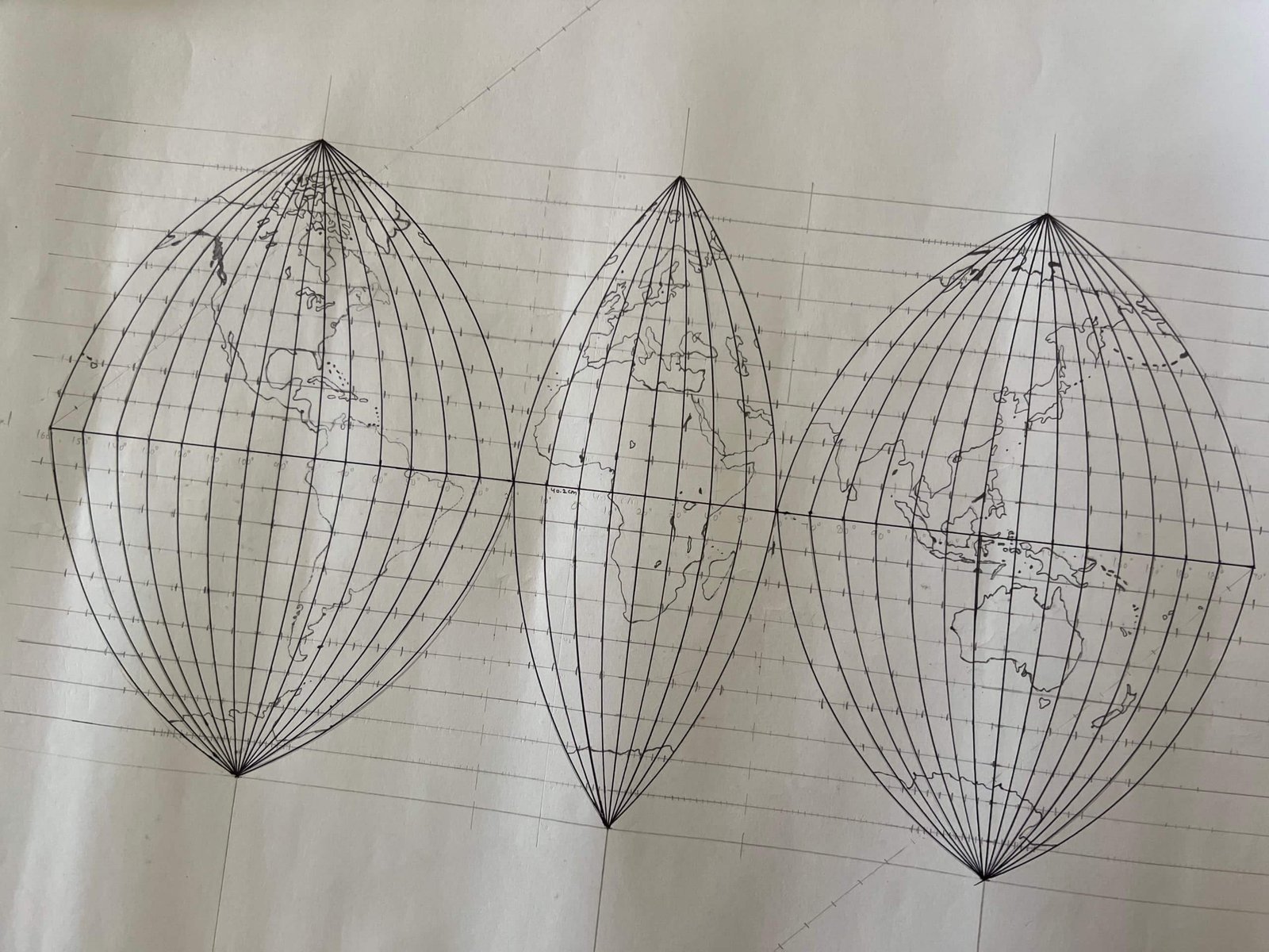
The Continents Enter the Grid
Coastlines are transferred carefully into the completed graticule. Their positions are guided by latitude and longitude rather than by visual approximation alone.
The Americas occupy the western lobe, Europe and Africa the central lobe, and Asia, Australia and the Pacific region the eastern lobe.
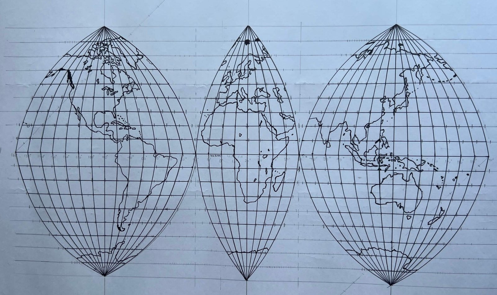
The Broken Map, Complete
The finished projection does not present the Earth as one seamless image. Oceans are divided, directions across the gaps are disrupted, and the world appears fragmented.
Yet the interruption allows the continents to remain closer to their true relative sizes and reduces the extreme stretching that would otherwise occur near the edges of a continuous sinusoidal map.
What appears broken is, in another sense, more carefully balanced.
Every Map Chooses What to Preserve
No flat map can reproduce the globe perfectly. Every projection must decide which qualities to protect and which distortions to accept.
The Interrupted Sanson–Flamsteed projection chooses to preserve area. It sacrifices continuity across the oceans so that the relative size of land regions can be represented more faithfully.
Its visible gaps therefore tell an important cartographic story: distortion cannot be eliminated, but it can be moved, controlled and made less damaging to the purpose of the map.
so that the world may be seen with greater balance.

Discover more from The Meridian Society
Subscribe to get the latest posts sent to your email.